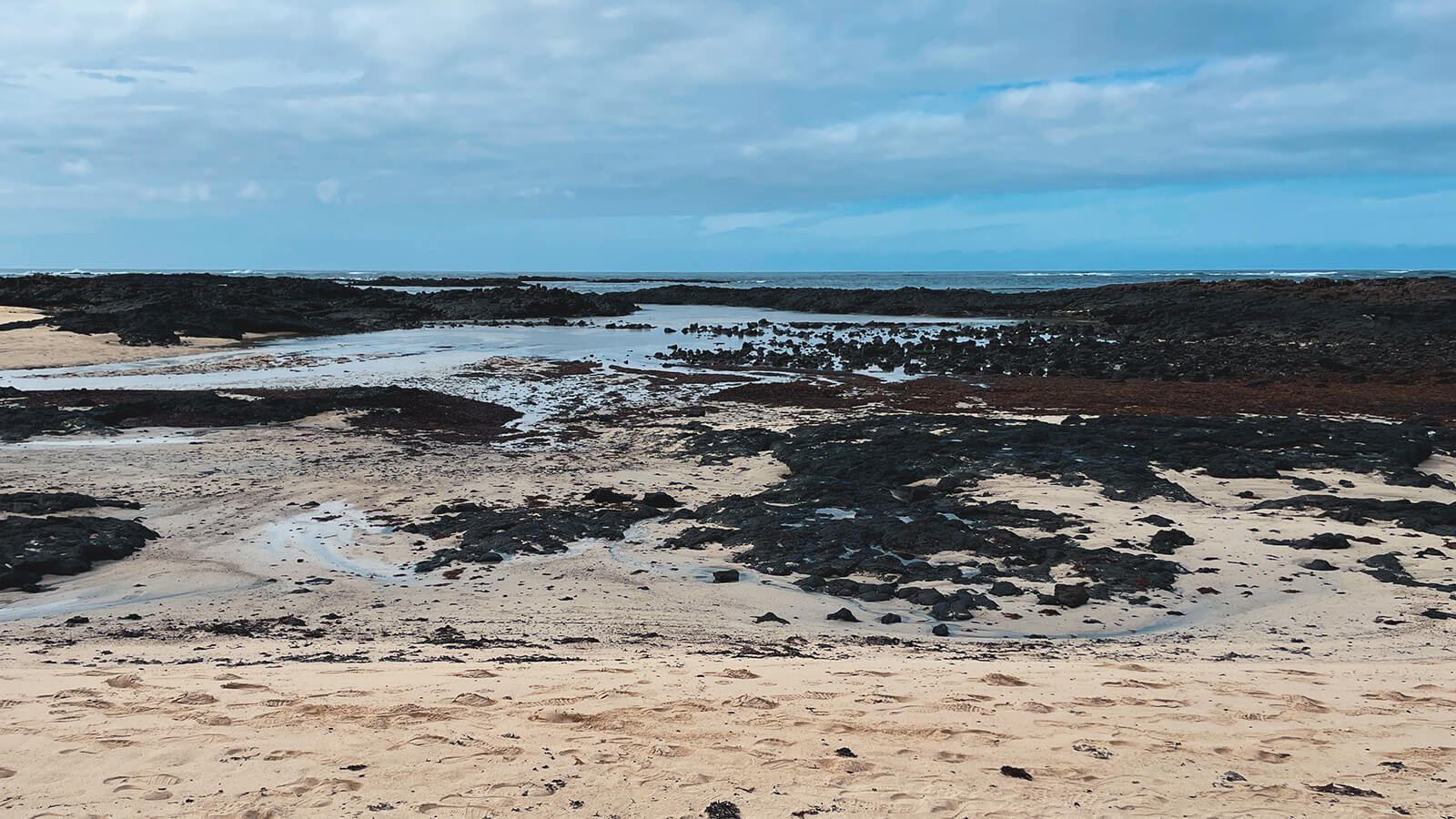
On the Mediterranean there is hardly any difference between high and low tide. For example, working in Ibiza is relatively easy and a location conveniently looks exactly as you had planned it from your desk at home. Tides are not a big thing there.
On the Atlantic, however, things are completely different. In France (in the Bretagne) I have seen harbors where the boats were lying in the mud at low tide. There were tidal differences of around 8 meters.

And the differences are also considerable in the Canary Islands. On Fuerteventura, some beaches are so flat that they are a hundred meters wide at low tide, but literally disappear at high tide. Bad if you drove an extra two hours to get there but arrived at the wrong time.
I simply asked a few surfers what apps they could recommend. Surfline is often used, but the app requires registration and has many premium features that may only be of interest to surfers.

The Tide Charts app is free, so I installed it once. The interface isn't super sexy, but it's functional. And the information that is important to me: I get a direct display of whether the water is coming or going and when the tide is low and when the tide is high.

And if you like it old school, surf shops also have a free surfer map with an annual tide calendar. You can also find tidal infos on their website.

